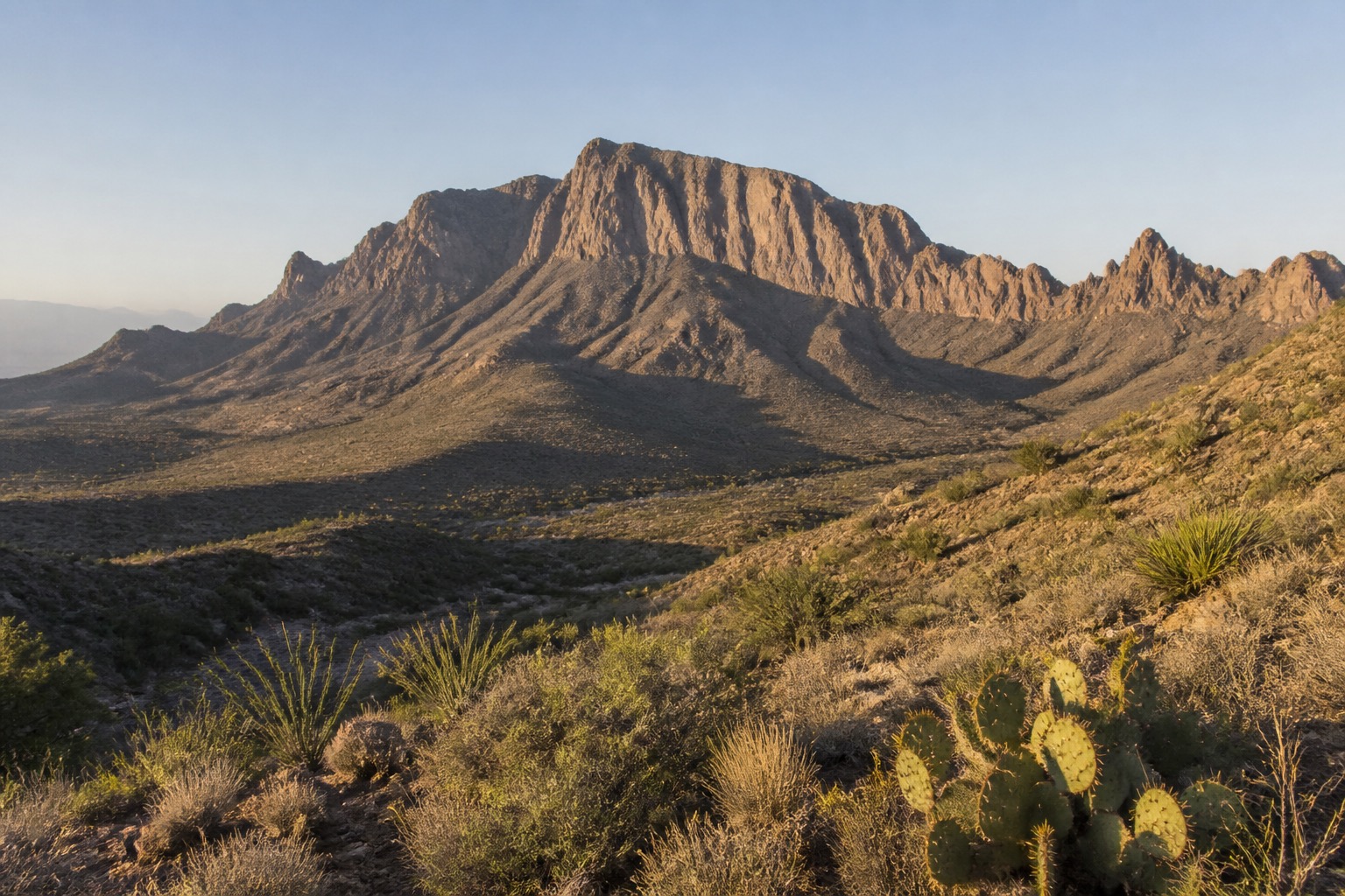
Good planning in Big Bend means deciding what deserves unhurried time before filling the calendar. Use the route to accept the park's immense distances and choose a basin, river or desert focus for each day. The result should feel coherent on the ground and remain useful when opening hours, weather or energy shift.
Plan Big Bend by area and travel time
Use Chisos Basin as one hiking base, the Ross Maxwell Scenic Drive as another full route, and the Rio Grande corridor as a separate day. Do not describe opposite corners of the park as quick stops.
The public itinerary Big Bend in Three Days: The Canyons, the Chisos & the Rio Grande can help test distances and day shape. A better personal version may contain fewer stops, especially when one experience deserves a protected half day.
Fuel, water, food and communication require advance planning. Verify National Park Service road, river, temperature and border-area guidance before departure. Treat operating details as time-sensitive. A final check of official access and transportation guidance can prevent an avoidable failed day.
Understand what makes Big Bend worth the trip
Desert geology, night skies and border history reward slow observation. Nearby communities can support the trip, but lodging location changes daily driving dramatically.
Heat exposure can be fatal; carry abundant water, avoid risky midday activity and never rely on cell service.
Weather and closures are easier to absorb when the day has a clear purpose and a compatible backup. Use Big Bend First-Timer Essentials: The Canyons, the Chisos & the River to compare candidates, then plan a Big Bend trip without crowding the calendar.