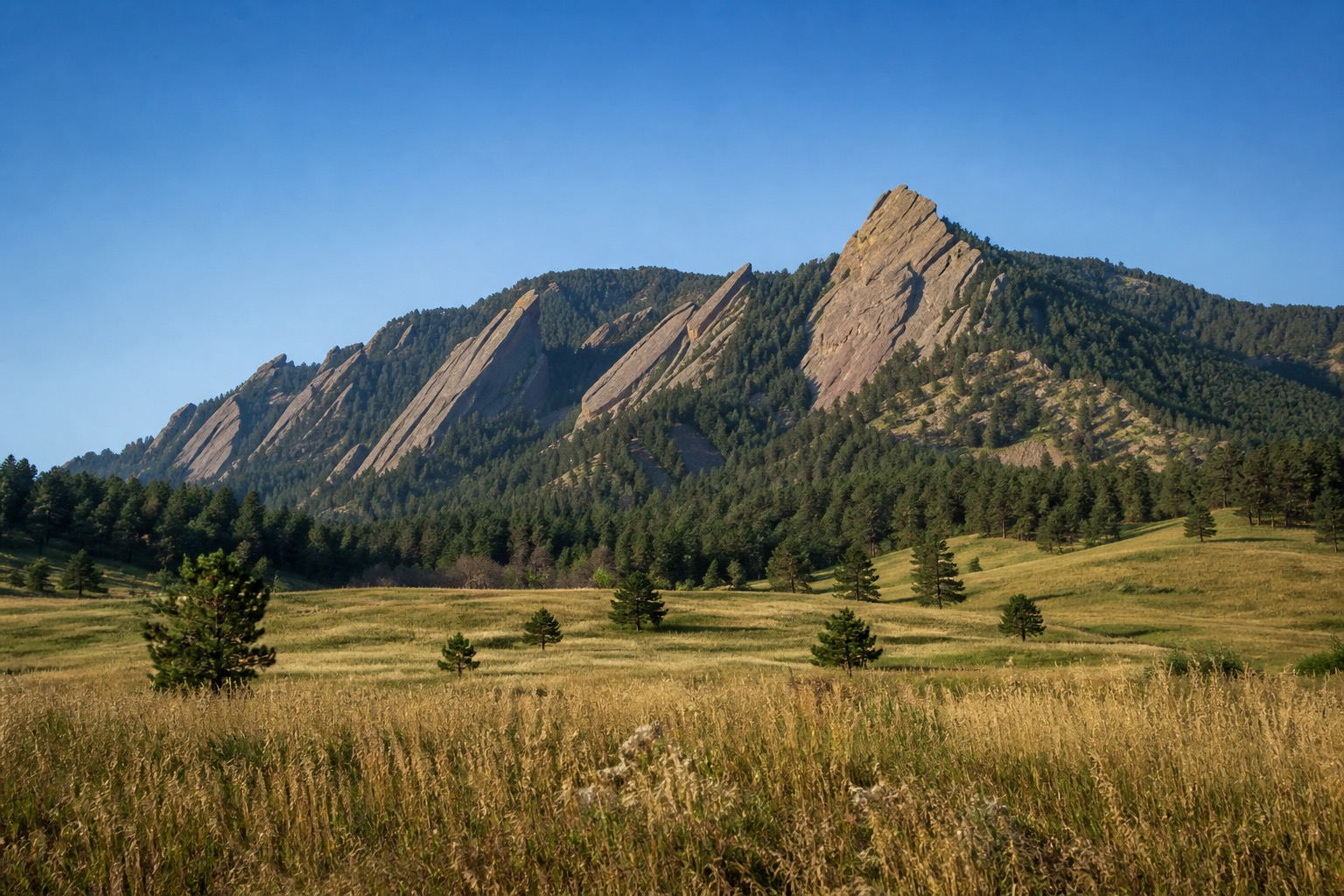
Boulder rewards travelers who edit as carefully as they research. The practical starting point is to put the Flatirons and walkable central city together without assuming every traveler should begin with a strenuous hike. It creates a route with a point of view while preserving enough margin for the destination to feel lived in rather than processed.
Plan Boulder by area and travel time
Use Chautauqua and a trail suited to the group as one outdoor block, then pair Pearl Street, university museums and creek paths separately. Mountain drives need their own weather margin.
Use Boulder in Three Days: The Flatirons, Pearl Street & Chautauqua to see one credible way through the destination. Keep the geographic logic, then adjust the density so transfers do not consume the attention the trip was meant to create.
Altitude and parking affect popular trailheads. Check open-space conditions, transit and seasonal closures before setting out. The route should remain provisional until current local or park notices confirm that its key access assumptions still hold.
Understand what makes Boulder worth the trip
Science, food, music and civic history can balance the outdoor identity. A low-key creek or campus day may be wiser on arrival than chasing elevation.
Carry water, respect lightning risk and keep wildlife and trail closures in mind.
Build in one alternative that protects the experience rather than merely filling time. The shortlist in Boulder First-Timer Essentials: The Flatirons, Pearl Street & Chautauqua can support a personal Boulder plan grounded in pace, interests and practical constraints.